 |
| Precipitable Water: WARMER colors mean more available moisture |
Projected rainfall amounts are significant. Flash Flood Watch will need to be issued later today by the NWS.

Northern Ohio radar loop

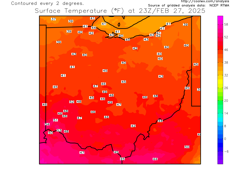
Current OHIO temperatures
Current Ohio Valley radar loop

No comments:
Post a Comment