Widespread snow event is still on track.

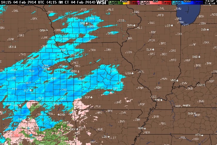
Snow spreading into Missouri as of early Tuesday morning.
RADAR LOOP HERE OR CLICK ON THE IMAGE BELOW
Scattered light snow later this afternoon won't affect the evening commute much. The bulk of the snow arrives this evening.
The storm looks to take a more southerly track which would keep temperatures below freezing limiting the transition to sleet and keeping the precipitation mainly snow.
Ohio temperatures stay below freezing all night.
Updated snowfall forecast is as follows: Most areas will receive between 6 and 10 inches of snow by noon Wednesday.


No comments:
Post a Comment